7,2 km | 8,2 km-effort
Irlande West 1
jeanyvesjacquetton
Benutzer
Länge
17,7 km
Maximale Höhe
96 m
Positive Höhendifferenz
202 m
Km-Effort
20 km
Min. Höhe
5 m
Negative Höhendifferenz
214 m
Boucle
Nein
Erstellungsdatum :
2023-09-12 08:53:46.0
Letzte Änderung :
2023-09-12 14:21:34.863
5h26
Schwierigkeit : Einfach
Kostenlosegpshiking-Anwendung
Über SityTrail
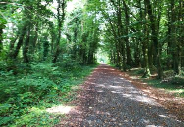
Tour Wandern von 17,7 km verfügbar auf Unbekannt, County Galway, Conamara Municipal District. Diese Tour wird von jeanyvesjacquetton vorgeschlagen.
Ort
Land:
Ireland
Region :
Unbekannt
Abteilung/Provinz :
County Galway
Kommune :
Conamara Municipal District
Standort:
Letterfore ED
Gehen Sie:(Dec)
Gehen Sie:(UTM)
473670 ; 5925634 (29U) N.
Kommentare
Touren in der Umgebung
Ballykine loop
Wandern
Sehr leicht
Conamara Municipal District,
Unbekannt,
County Galway,
Ireland
1h 52min
Ja
J-24-06 Leenaun - Parc National Connemara - 48 km
Auto
Sehr leicht
Conamara Municipal District,
Unbekannt,
County Galway,
Ireland
48 km | 55 km-effort
1h 0min
Ja
connemara 3
Auto
Sehr leicht
Conamara Municipal District,
Unbekannt,
County Galway,
Ireland
158 km | 176 km-effort
3h 32min
Nein
Maumturks
Wandern
Schwierig
(1)
Conamara Municipal District,
Unbekannt,
County Galway,
Ireland
11,7 km | 22 km-effort
4h 22min
Ja
Ben Gorm
Andere Aktivitäten
Sehr leicht
Westport-Belmullet Municipal District,
Unbekannt,
County Mayo,
Ireland
10,4 km | 20 km-effort
4h 0min
Ja
Trail 2010/10/22 17:10
Andere Aktivitäten
Sehr leicht
Castlebar Municipal District,
Unbekannt,
County Mayo,
Ireland
10,8 km | 19,3 km-effort
4h 44min
Ja
Irlande 5
Wandern
Einfach
Westport-Belmullet Municipal District,
Unbekannt,
County Mayo,
Ireland
16,7 km | 19,6 km-effort
5h 18min
Nein
Irlande 3
Wandern
Einfach
Conamara Municipal District,
Unbekannt,
County Galway,
Ireland
16,2 km | 21 km-effort
5h 10min
Nein
cong
Wandern
Sehr leicht
Conamara Municipal District,
Unbekannt,
County Galway,
Ireland
3 km | 3,3 km-effort
46min
Nein